Recently, the Earl & Sedor team completed a large drone survey that covered over 250 acres of land!
This parcel’s shape and size required significant pre-flight planning and proved to be a challenge in several ways.
A few of the issues we ran into included steep terrain changes, limited access to the parcel, and the drone’s terminus at the end of each transit being nearly one mile away. In addition to this, we also had concerns about potential aircraft conflicts at our maximum allowable altitude of 400 feet.
After a lengthy flight briefing with the crew, we made our way to the site and placed the spotters at their intended locations. Our spotters were equipped with coms in order to keep their eyes on the drone and to communicate that information to the pilot. At the launch point, our drone, affectionately named “Little Bird” was extensively pre-flighted. As Little Bird took flight, all eyes were looking skyward to follow it’s progress as it captured 587 images of the property.
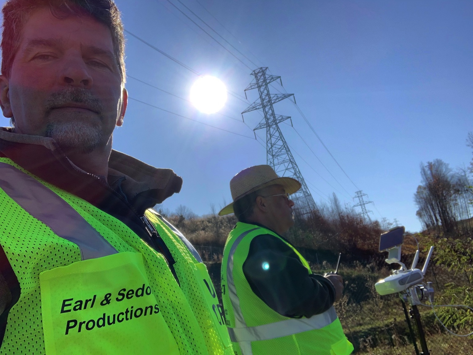
This mission required four battery changes and took over one hour of flight time. The mission took a total of 10 man hours to complete, from planning to touchdown. Pictured below is JB Earl in the foreground acting as a spotter and drone launch vehicle driver. In the background is John Sedor working the controls and coms.
We had a blast working on this project and enjoy whenever we get to work with drones! For more information about drone services by Earl & Sedor, as well as our other services, contact us today!
Phone: (570)-283-5055